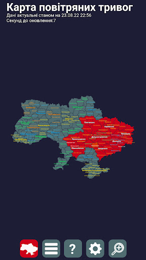
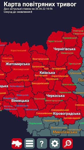
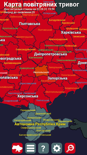
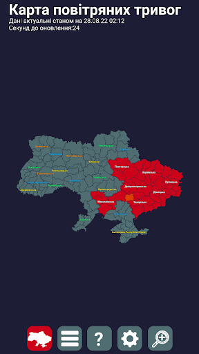
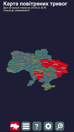
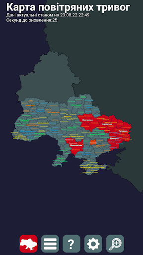
The air alert map of Ukraine is a map on which you can see in which districts or regions of Ukraine there is currently an air alert.
In the program, you can see the entire map of Ukraine, as well as zoom in for a more detailed view.
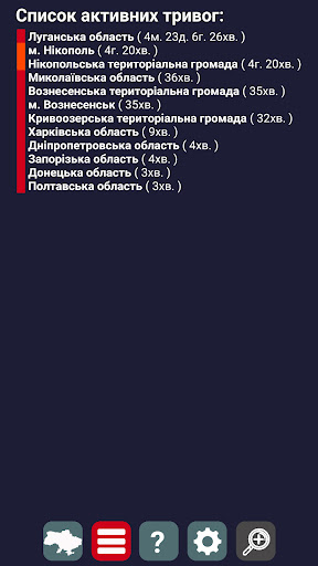
Areas and districts in which there is currently an air alert are colored red, you can switch the mode to list, and see in which regions there is an air alert in the form of a list.
The application has the following settings:
1. Hide regions (hides regions of Ukraine, performance is not affected)
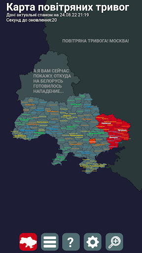
2. Show aggressor countries on the map (maps of Belarus and Russia begin to be displayed on the map so that the possible direction of flight of aerial objects is better visible)
3. Show memes on the aggressor countries (displays a random phrase-meme in the form of text on the map of Russia and Belarus, such as \And I will now show you where the attack on Belarus was being prepared...\.